
GNSS Land Surveying Solution
Overview
This solution integrates various high-performance GNSS receivers, field software, and essential components to deliver efficient, centimeter-level land surveying. Ideal for boundary mapping, construction layout, and more, it ensures fast, reliable results even in complex environments.

Full-Constellation Tracking
SingularXYZ GNSS receivers support full-constellation signal tracking with advanced anti-interference algorithms, ensuring fast and reliable FIX even in complex environments such as city canyons or dense forests.

60° Tilt Surveying
Most SingularXYZ GNSS receivers are integrated with built-in IMU, supporting up to 60° tilt surveying within ±2.5cm accuracy, largely improving your surveying efficiency.
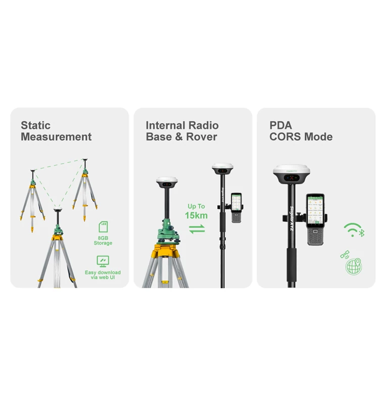
Flexible Work Modes
Optional with various GNSS receiver models, you can conduct static measurements, radio mode or CORS mode according to your requirements. In radio work mode, SingularXYZ RTK receivers also support common protocol to work with your existing devices.

Rugged Design
SingularXYZ GNSS RTK receivers are protected with rugged housing, catering to various working environments.
System Components
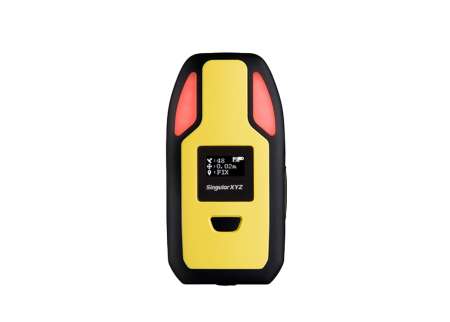
GNSS Receivers (Base & Rover)
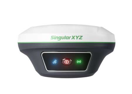
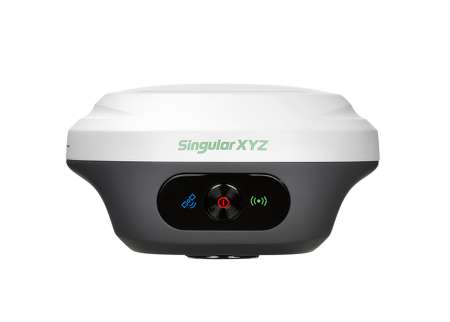
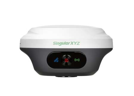
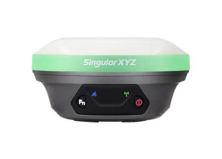
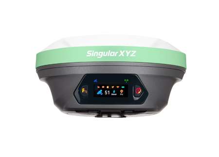
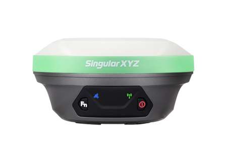
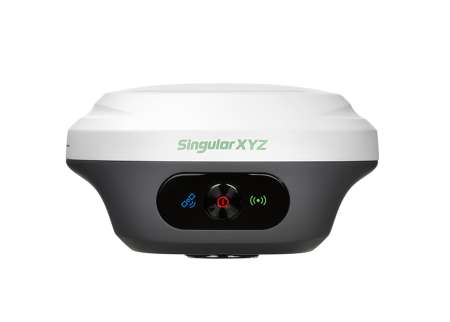
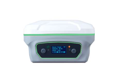
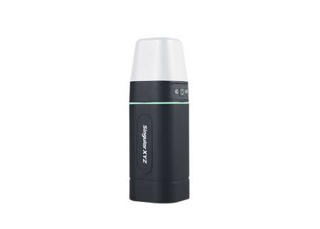
GNSS Receivers (Network Rover)
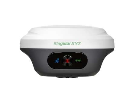
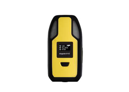
Software
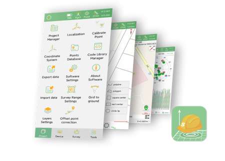
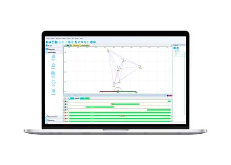
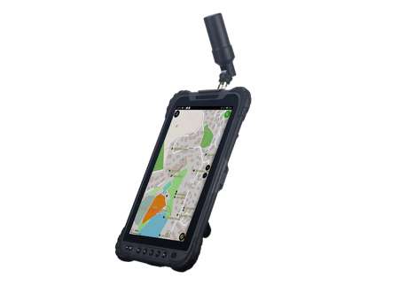
Data Collectors
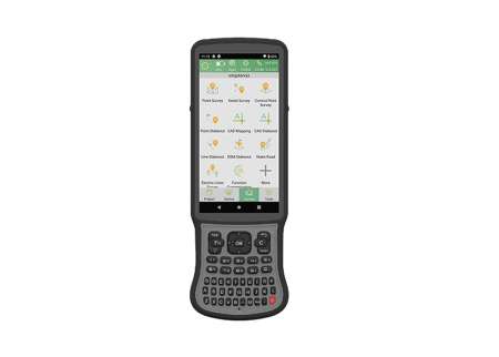

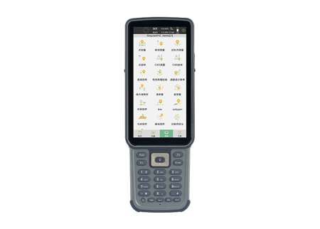
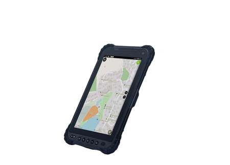
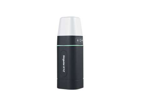
External Datalink
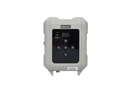
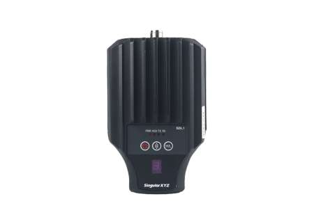
Accessories


User Cases

Topographic & Urban Planning Projects
Ecuador

GCPs Surveying for UAV Mapping
Mexico

Laser Surveying with Orion ONE
Kosovo

Residential Yard Mapping
Brazil
Downloads
PDF · English · date: 2025.06.04 · size: 4.37 MB
PDF · English · date: 2025.06.04 · size: 1.67 MB
PDF · English · date: 2025.06.04 · size: 739.55 KB
PDF · English · date: 2025.06.04 · size: 1.17 MB
PDF · English · date: 2025.06.04 · size: 1.28 MB