
Key Features

Fixed in Seconds
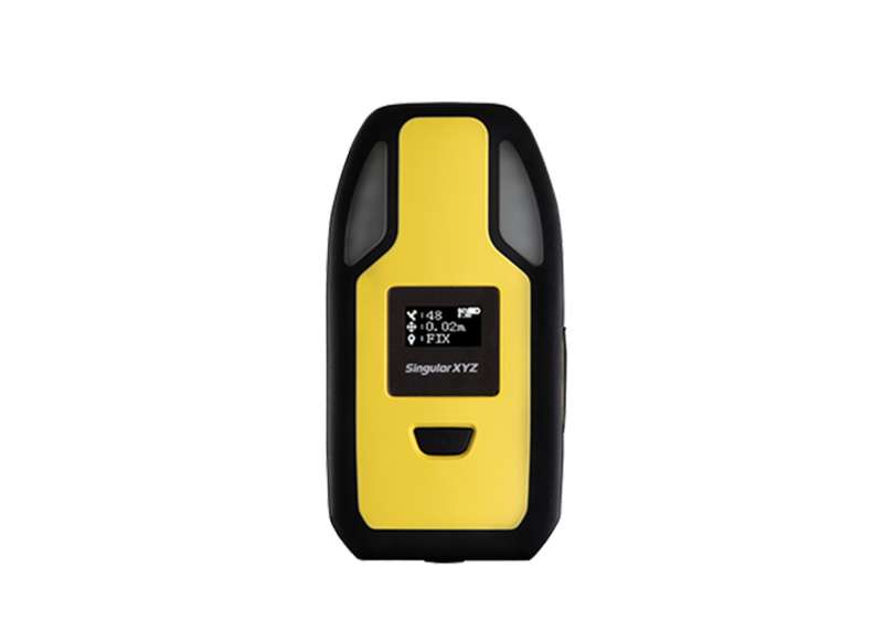
Equipped with a 1408-channel GNSS engine, P2 Plus can track GPS, BDS, GLONASS, Galileo and QZSS synchronously, ensuring consistent and reliable centimeter-level positioning even in challenging construction site conditions.

60° Tilt Surveying
Optimized with the new generation of IMU module, you can easily initialize the IMU in just 5 seconds and start tilt measurements up to 60°. One initialization can meet the centimeter accuracy requirement for the whole work.

Flexible Design
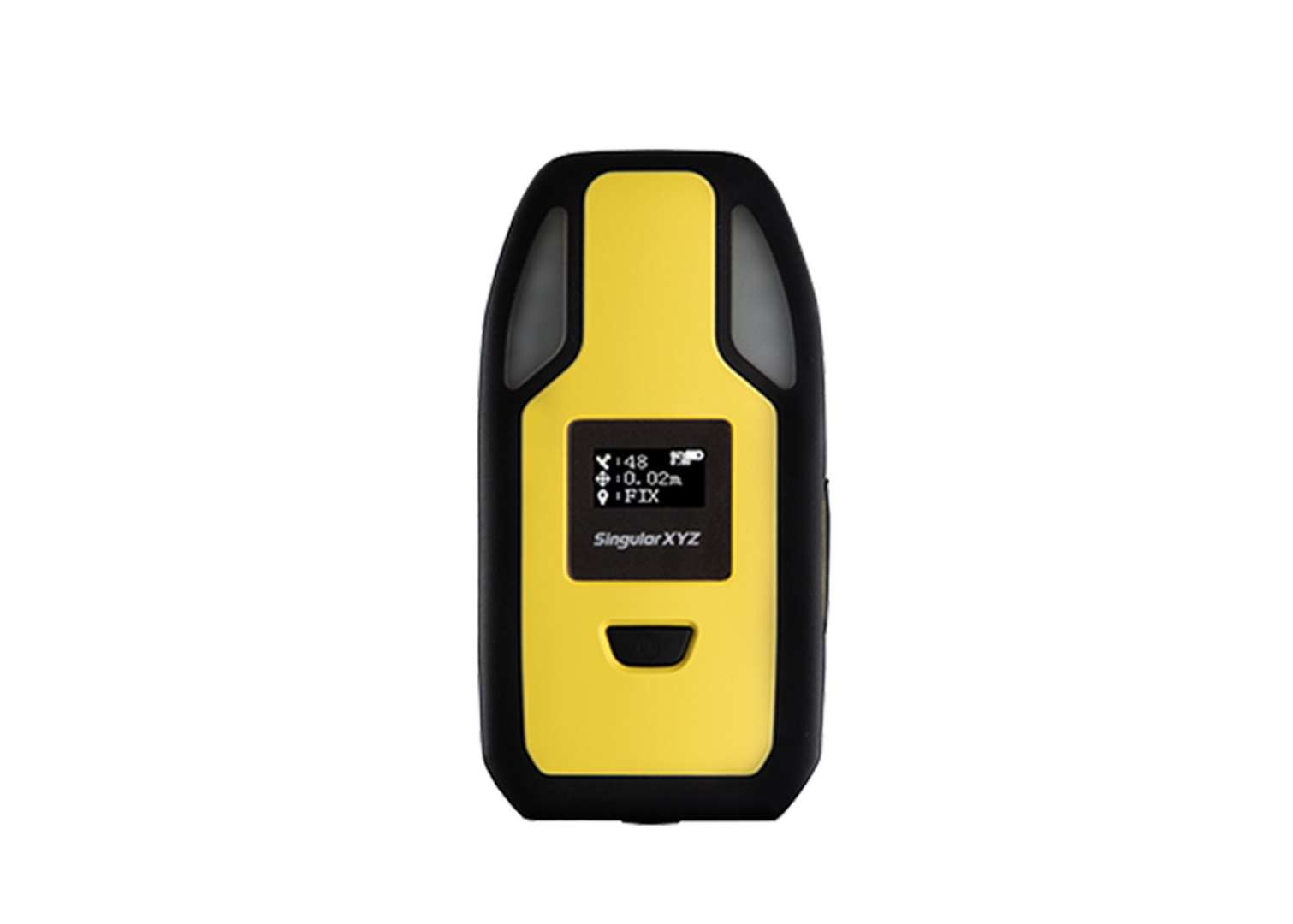
Designed with flexibility, the P2 Plus can be mounted on a range pole for professional land surveying, wear it on the arm or handheld for convenient GIS data collection.
Additional Benefits

Efficient Communication
With Bluetooth for easy configuration, 4G for RTK correction data transmission, Type-C interface for charging and upgrade, P2 Plus provides stable positioning for your surveying or GIS tasks.

Advanced Safety Alets
Prioritizing construction site safety, the P2 Plus GNSS receiver comes with a range of warning features including warning lights, voice alerts, and vibration alerts, notifying users when they entering dangerous areas, enhancing safety during construction operations.

Handheld for GIS
Weighing only 199 grams, the P2 GNSS receiver is an ultra-lightweight, perfect handheld device for all your GIS tasks and various positioning related applications.

Long Time Battery
Powered by a 4000mAh internal battery and optimized for low power consumption, the P2 Plus can operate continuously for up to 12 hours, ensuring uninterrupted surveying throughout the workday.

IP67 Protection
Built to withstand harsh working conditions, the P2 Plus is housed in a rugged IP67 enclosure with sealed plugs, providing protection against accidental drops, shocks, inclement weather, and other potential damages.

Guarantee Your Safety
Prioritizing construction site safety, the P2 can alert operators when they are nearing hazardous or restricted areas by its warning lights, voice alerts, and vibration alerts. Additionally, the always-on warning light serves as a visual warning during night operations.
Software & Platform

SingularPad Field Surveying Software
SingularPad is a professional field software that meets your versatile demands, which can be easily installed on Android devices.
Industries & Applications

Land Surveying

GIS

Personnel Tracking
Specifications
| Channels | 1408 |
|---|---|
| BDS | B1I, B2I, B3I, B1C, B2a, B2b |
| GPS | L1C/A, L1C, L2C, L2P(Y), L5 |
| GLONASS | G1, G2, G3 |
| Galileo | E1, E5a, E5b, E6 |
| QZSS | L1C/A, L1C, L2C, L5 |
| RTK Accuracy | 8mm+1ppm Horizontally 15mm+1ppm Vertically |
| Tilt range | 60° tilt range |
|---|---|
| Battery | 4000mAh |
| Size | 135*70*22mm |
| Weight | 199g |
| Waterproof & Dustproof | IP67 |
| Visual Alert | Two bright lights flash to provide a warning signal |
|---|---|
| Auditory Alert | Emits a loud and distinctive sound as an alert |
| Vibration alert | The wearable vibrates vigorously to alert the wearer |
| 4G | Support |
|---|---|
| Bluetooth | BT4.2 BR/EDR |
| WiFi | 802.11 b/g/n |
Downloads
date:
size: 1.68 MB
date:
size: 4.83 MB
Customer Reviews
No review has been published yet...