Geospatial
Geospatial
Geospatial – solutions

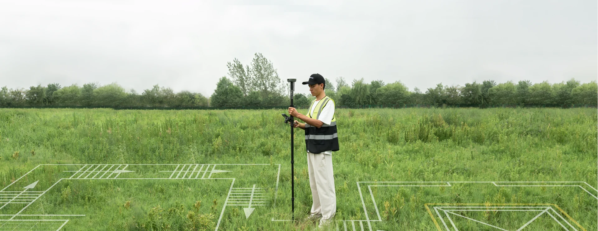
GNSS Land Surveying Solution
For your centimeter-level precise surveying and mapping
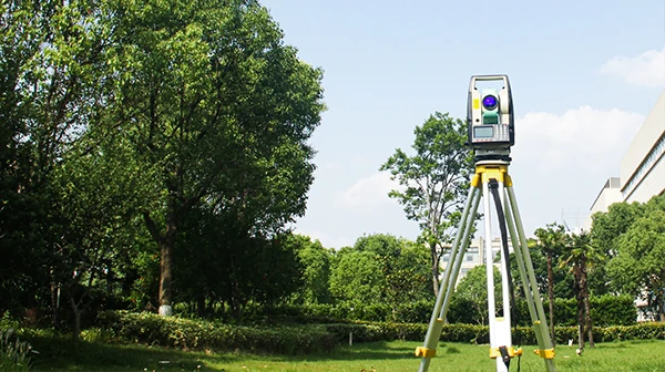
Optical Land Surveying Solution
Accurate total station surveys with dependable performance.
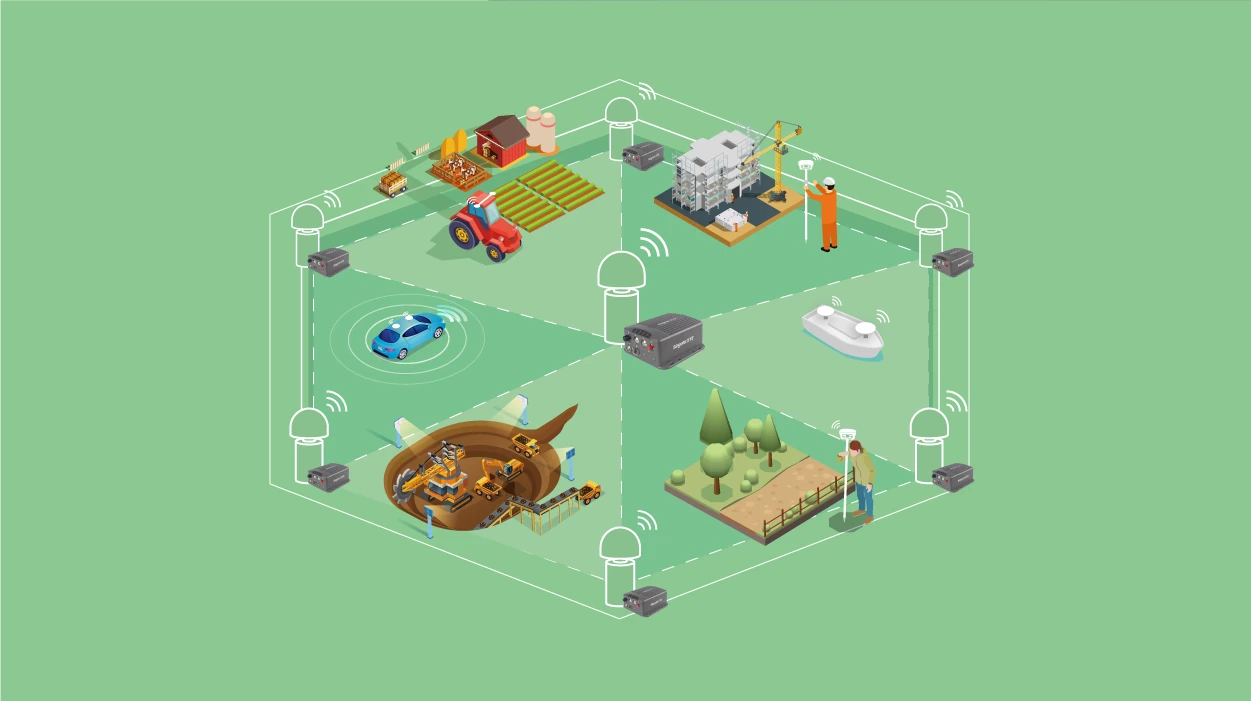
CORS Network Solution
Reliable GNSS corrections through centralized network management

GIS Data Collection Solution
Smart, lightweight GIS tools for field data capture