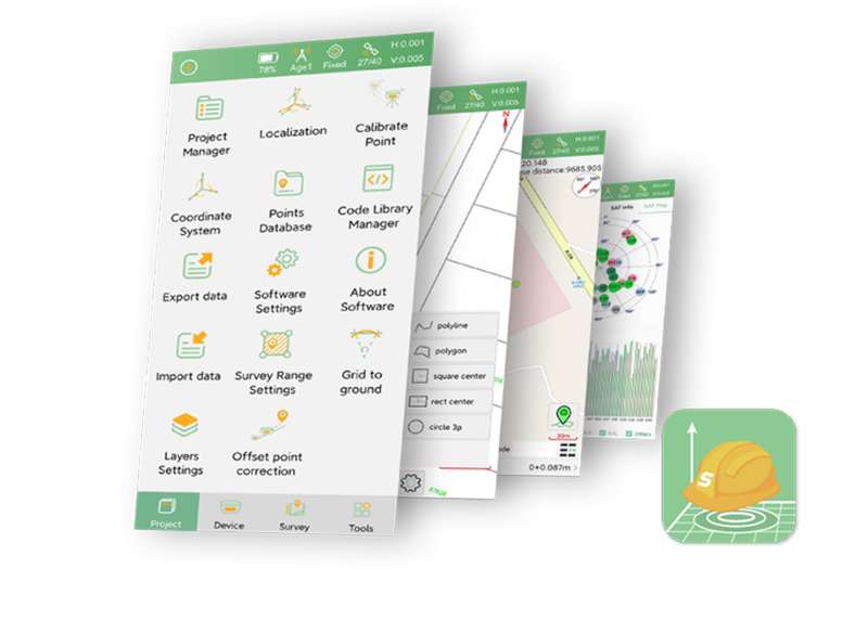
SingularPad Field Surveying Software
Professional Assistant For Your Projects More| Product number | SingularPad |
| Quantity unit | pc |

Key Features

Singularpad Field Surveying Software
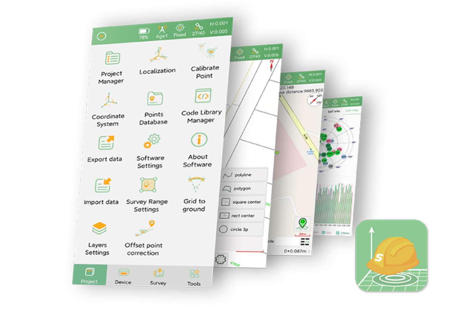
SingularPad is fully functional as a field surveying software, equipped with complete work modes and necessary functions - projection/datum configuraion, GSM/radio/PDA CORS work modes, point survey/stake out/CAD sketch/COGO calculation and etc.

For Both GNSS Receiver & Total Station
Connected via Bluetooth, both RTK receiver and total station tasks can be performed smoothly under the same project and datum. You can share the real-time stakeout position with prism operators through SingularPad for convenient stakeout.

Professional Design
In order to provide professional users with better working experience, SingularPad is designed with more advanced features, such as more import formats, more calculation tools, stake out accuracy analysis, auto-sketching by codes, CAD layer editing and etc.
Non-Stop Improving
To meet the rapidly developed GNSS industry and user requirements, SingularPad is constantly being upgraded with new features.
With SingularPad, you will enjoy software services never out of date.

Additional Benefits

Visual AR Stakeout
Through WiFi transmission, SingularPad can transmit large amounts of image and video data in real time, and cooperate with visual RTK to achieve clear, intuitive and accurate visual AR layout functions.

Laser Surveying
Combined with laser-enabled RTK, the SingularPad software enables seamless switching between laser surveying and pole surveying.

CAD Sketching & Stakeout
Detailed CAD sketching function, including line, polygon, spline, circle and etc. Each layer is editable. Support easy stakeout based on your CAD map.

Custom Survey Interface
Users can customize the information display content and measurement function menu according to their working scenarios to meet their own usage habits and needs.

File Sharing
All types of data in the project can be easily shared by scanning QR code or entering the sharing code, which is convenient for the transmission of various data between data collectors & surveyors.
Industries & Applications

GNSS Surveying

Optical Surveying
Specifications
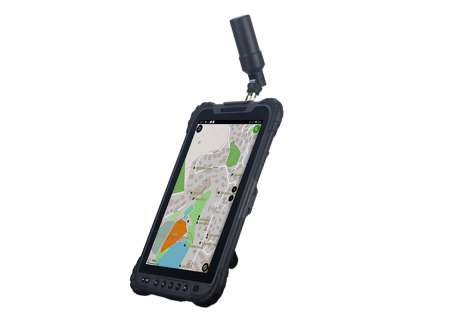
| SingularXYZ Device | SC200 data collector, SC300 data collector, T8 tablet |
|---|---|
| Android device | Android devices with OS 4.2 or higher |
| SingularXYZ RTK | Orion ONE Series, X1-Series, Z1, Sfaira ONE Series, P2 Series, etc. |
|---|---|
| SingularXYZ Total Station | STSA9, TS1000, STS2 total station |
| NMEA Device | Other GNSS devices that support NMEA-0183 |
| Project | Project manager, Datum configuration, Localization, Survey Range Setting, Point database, Code manager, etc. |
|---|---|
| Device | Device connection & debugging, Rover/base configuration, Device information/setting, etc. |
| Survey | Point survey, Laser survey, Control point survey, Detail survey, CAD sketching & stake, AR Stakeout, Stake point/line, Road stake, DSM stake, etc. |
| Tool | Coordinates converter, Angle converter, Perimeter & area calculation, File sharing, COGO and other calculators |
Downloads
date:
size: 2.45 MB
Customer Reviews
No review has been published yet...