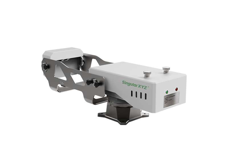
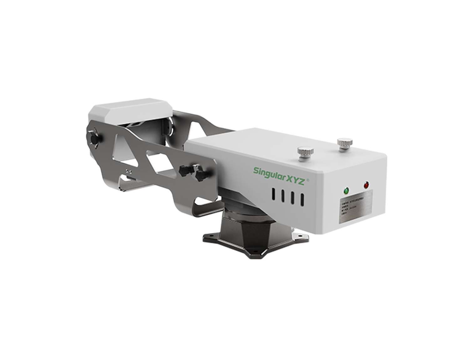
MR5000 Monitoring Radar
360° Slope Stability Monitoring, Down to the Millimeter More| Product number | MR5000 |
| Quantity unit | pc |

Key Features

360° Full Coverage Monitoring
The radar system adopts continuous 360° scanning, enabling uninterrupted data acquisition without blind zones. It provides comprehensive capture of slope deformation from all directions, ensuring full situational awareness in complex terrains and large-scale monitoring scenarios.

Sub-Millimeter Monitoring Accuracy
The system achieves up to 0.1 mm deformation measurement precision, enabling detection of extremely small slope movements. This high-resolution capability supports early identification of potential instability and proactive risk assessment in critical infrastructure and geohazard zones.

5KM Long-Range Monitoring
Designed for medium-to-long range applications, the radar system supports monitoring distances of up to 5 km, enabling wide-area slope surveillance from a single installation point. This reduces deployment complexity while maintaining consistent measurement accuracy over long distances.
Additional Benefits
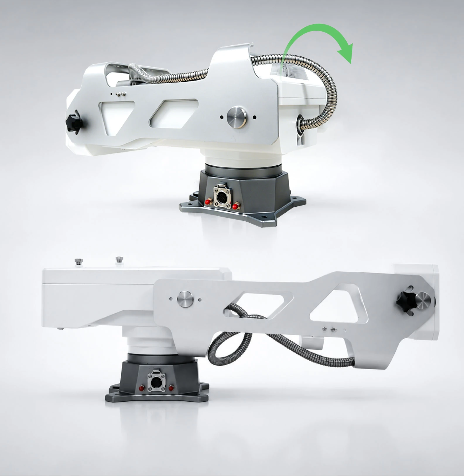
Foldable Compact Structure
The articulated foldable mechanical design significantly reduces system volume during transport and storage. This compact configuration allows easy handling and rapid deployment in the field, making it particularly suitable for emergency response and remote monitoring applications.

Modular Rapid Deployment Design
The system adopts a modular architecture, allowing key components to be quickly assembled, replaced, or reconfigured according to field requirements. This improves deployment efficiency and simplifies maintenance, while increasing adaptability across different monitoring environments.

All-Weather Robust Operation
The system is engineered to maintain stable performance under all-weather conditions, including rain, fog, and low-visibility environments. It is also resistant to environmental disturbances such as vegetation movement and small animal activity, ensuring reliable data continuity in complex field conditions.

Adaptive Data Acquisition Control
Built-in adaptive algorithms dynamically adjust data acquisition and transmission frequency based on real-time deformation activity. This optimizes data efficiency by increasing sampling during abnormal events while reducing redundant data transmission during stable periods.
Software & Platform

SingularMonitor Platform
The software provides an integrated platform for real-time visualization, data processing and intelligent analysis of slope deformation, enabling accurate deformation data interpretation and early warning across various monitoring scenarios.
Industries & Applications

Mining Slopes

Dams & Embankments

Natural Slopes

Engineered Slopes
Specifications
| Spatial Resolution | Range ≤0.15 m, Cross Range ≤5mrad @100 m, 0.15 m by 0.30 m @500 m, 0.15 m by 1.50 m |
|---|---|
| Accuracy | 0.1mm |
| Operating Range | 5km |
| Field of View | - Horizontal 360° - Vertical 40° (support ±60° adjustment, motorized optional) |
| Sampling Interval | ≤ 1 min |
| Data Upload Interval | Adjustable from 1 min to 24 h |
| Frequency Band | Ku, 15.7~17.2 GHz |
| Power Supply | AC power / Solar power |
|---|---|
| Power Consumption | - Average power consumption: ≤45 W - Low-power consumption: ≤15 W (continuous monitoring mode) |
| Input Voltage | 220 VAC |
| Weight | ≤10 kg (including radar unit, pan-tilt platform, and built-in processing unit) |
| Size | ≤550 × 260 × 350 mm (L × W × H) |
| Housing Material | Engineering-grade plastic and CNCmachined aluminum alloy |
| Interface | Integrated multi-function interface with power and Ethernet connection |
|---|---|
| Network Access | Supports external router |
| Operating Temperature | -55°C to +65°C |
|---|---|
| Waterproof & Dustproof | IP66 |
Downloads
date:
size: 1.39 MB
Customer Reviews
No review has been published yet...