Barion Pixel

Blog

Geospatial

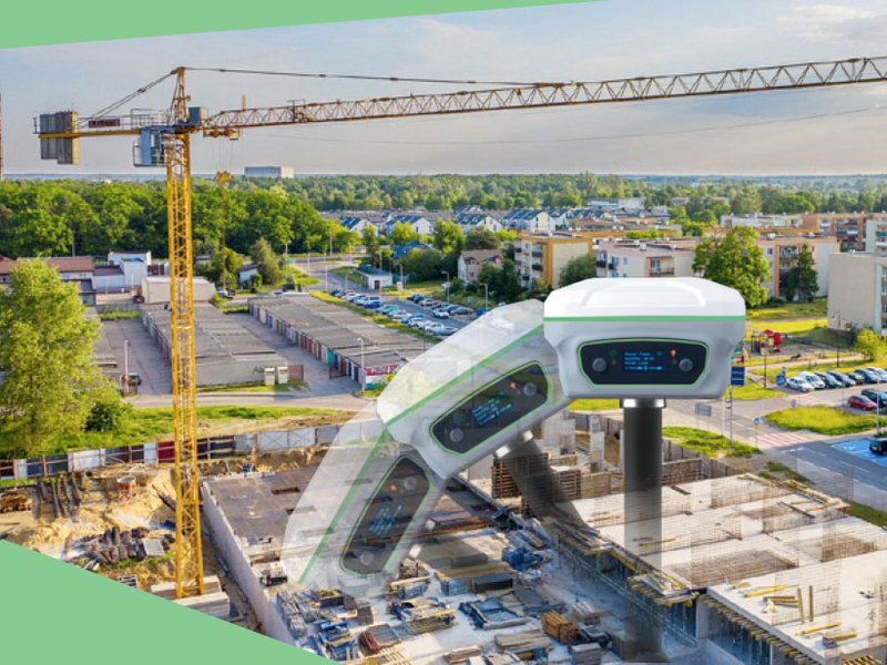
Application of Engineering Survey Technology in Building Construction

Engineering surveying technology refers to the general term of various surveying theories, methods and technologies used in the survey and design, construction and management stages of engineering construction. The service fields of traditional engineering survey technology include construction, water conservancy, transportation, mining and other departments, and its basic contents include mapping and lofting two parts.
Read more
Agriculture

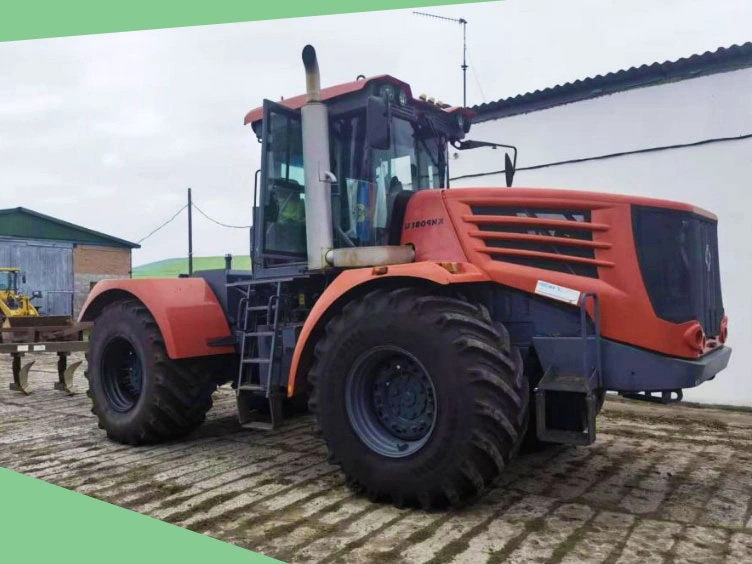
Tech Chat | How an articulated tractor works & its applicable scenarios

In our daily farm work, choosing the right tools will greatly improve our work efficiency. As we all know, tractors are used to pull and drive various supporting machinery and tools to achieve different agricultural operations. Its structural form can be divided into various structures, due to different purposes and application fields. Today let's talk about articulated tractors to understand their applicable scenarios.
Read more
Geospatial

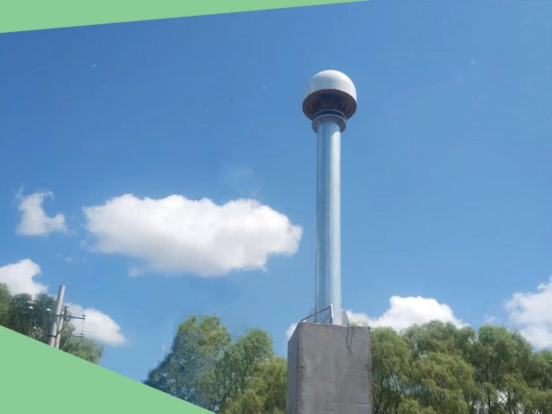
Tech Chat | How To Site A CORS Station?

As introduced in the previous blog, CORS (Continuous Operational Reference System) continuously collects high-quality GNSS raw observation data through reference stations, providing mobile terminal users with high-precision positioning services at the millimeter to centimeter level. From navigation and positioning to land surveying, disaster prevention and mitigation, smart cities, autonomous driving, etc., in which the CORS system plays a huge role. In general, users only need to purchase a CORS account to easily obtain differential data for use in various scenarios.
Read more
Geospatial

FAQ | Y1 GNSS Receiver – Part 3 GSM/4G Mode

As one of our hot products, the Y1 GNSS receiver has a very wide user base, and they also encountered various technical questions in the process of using Y1. We have summarized the questions frequently asked by our users and provided some solutions, hoping to solve some of your confusion.
Read more
Geospatial

FAQ | Y1 GNSS Receiver – Part 2 Common Notes in Use

As one of our hot products, the Y1 GNSS receiver has a very wide user base, and they also encountered various technical questions in the process of using Y1. We have summarized the questions frequently asked by our users and provided some solutions, hoping to solve some of your confusion.
Read more