Barion Pixel

Blog

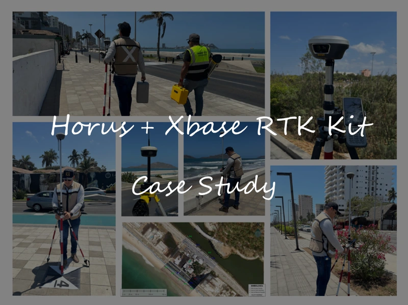
Case Study | High‑Precision Surveying for Coastal Hydrogeological Studies in Mazatlán, Mexico

Horus Visual & Laser GNSS Receiver and Xbase GNSS Receiver provide a reliable RTK solution for high-precision surveying in demanding field environments. Horus combines GNSS positioning with visual and laser surveying capabilities, enabling efficient contact and non-contact measurement, while Xbase serves as a stable RTK base station with reliable correction transmission for precise positioning. Together, they provide an efficient and dependable workflow for high-precision data collection.
Read more

Geospatial

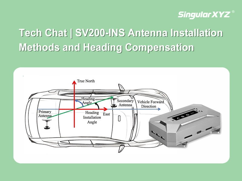
Tech Chat | SV200‑INS Dual‑Antenna Installation Methods and Heading Compensation

In GNSS/INS integrated navigation and vehicle guidance systems, dual-antenna installation orientation directly affects heading accuracy. Since the relative position of the two antennas may vary depending on the vehicle structure and available installation space, the system needs to compensate for the angle difference between the antenna baseline and the vehicle forward direction.
Read more
Case Study

Case Study | Progress Monitoring based on LiDAR SLAM technology with H1 for Construction Project in Culiacán, Mexico

The H1 Handheld 3D Laser Scanner combines LiDAR SLAM and integrated GNSS technology to deliver fast, accurate, and georeferenced 3D reality capture. Designed for efficient mobile mapping, it enables users to quickly generate dense point clouds and digital site documentation with minimal setup, making it well suited for construction, infrastructure, and other dynamic surveying applications.
Read more