Barion Pixel

Blog

Geospatial

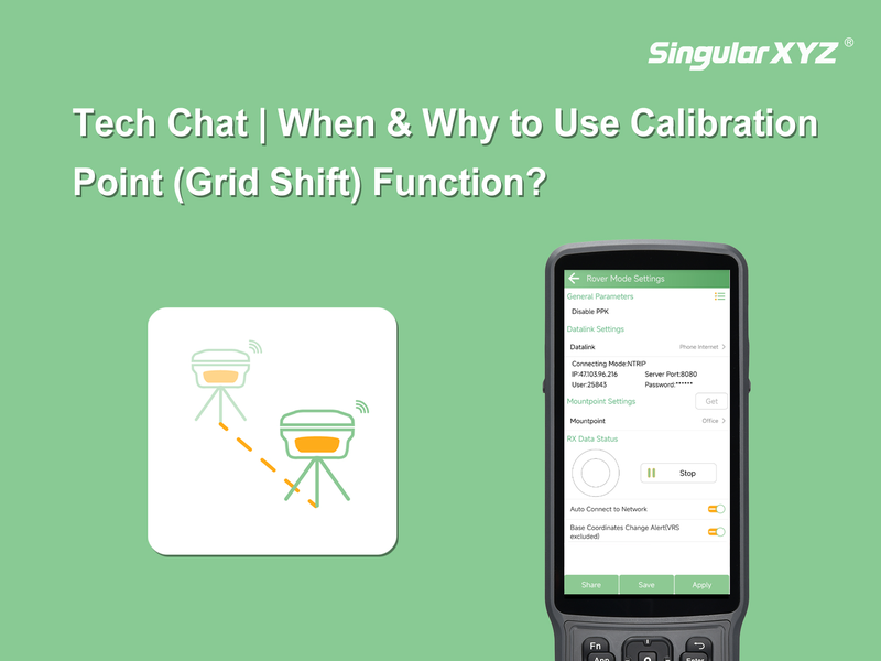
Tech Chat | When & Why to Use Calibration Point (Grid Shift)

When conducting surveys, even small errors in base station coordinates can affect the accuracy of your measurements. To address this, most surveying software provides a function called Calibrate Point/Grid Shift. But do you know when you should use it and why it's necessary? This blog will guide you through it.
Read more
Geospatial

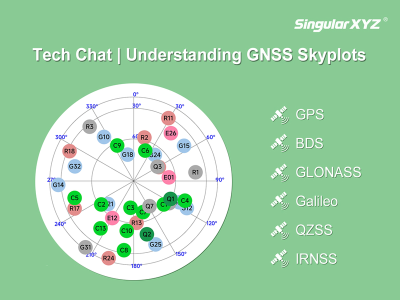
Tech Chat | Understanding Skyplots in GNSS Workflows

In GNSS surveying, understanding satellite availability and distribution is essential for accurate measurements. One of the most intuitive tools for this purpose is the Skyplot—a visual representation of the satellites above your survey point.
Read more
Geospatial

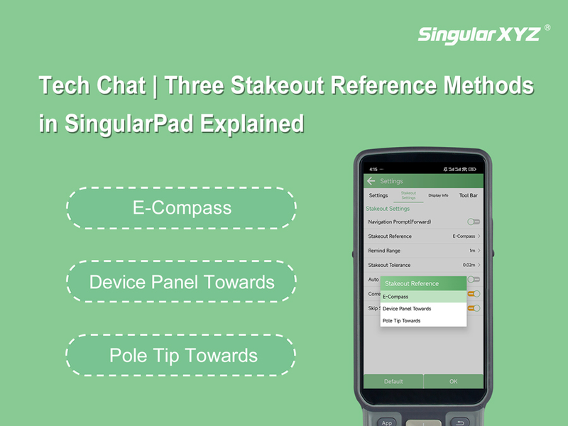
Tech Chat | Three Stakeout Reference Methods in SingularPad Explained

In most routine RTK stakeout tasks, surveyors depend on the compass of their data collector (or smartphone) to guide the stakeout direction. This usually works well, but in certain environments—such as construction sites with strong electromagnetic interference—the compass may become inaccurate or even completely unusable.
Read more