Barion Pixel

Blog

Geospatial

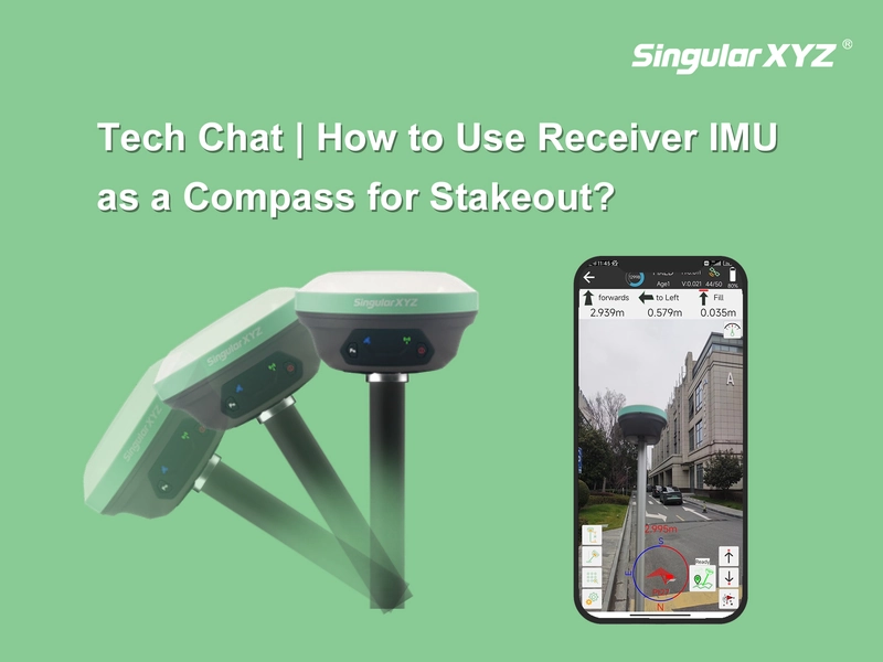
Tech Chat | How to Use Receiver IMU as a Compass for Stakeout?

Have you ever encountered challenges when staking out due to a failing controller compass? In such situations, finding the desired point becomes frustratingly difficult despite multiple calibration attempts. However, with SingularXYZ's latest SingularPad software and X1 receiver, this problem is now effectively resolved. This blog will guide you through utilizing the receiver's IMU as a compass for stakeout, ensuring accurate navigation even when traditional compasses fail.
Read more
Geospatial

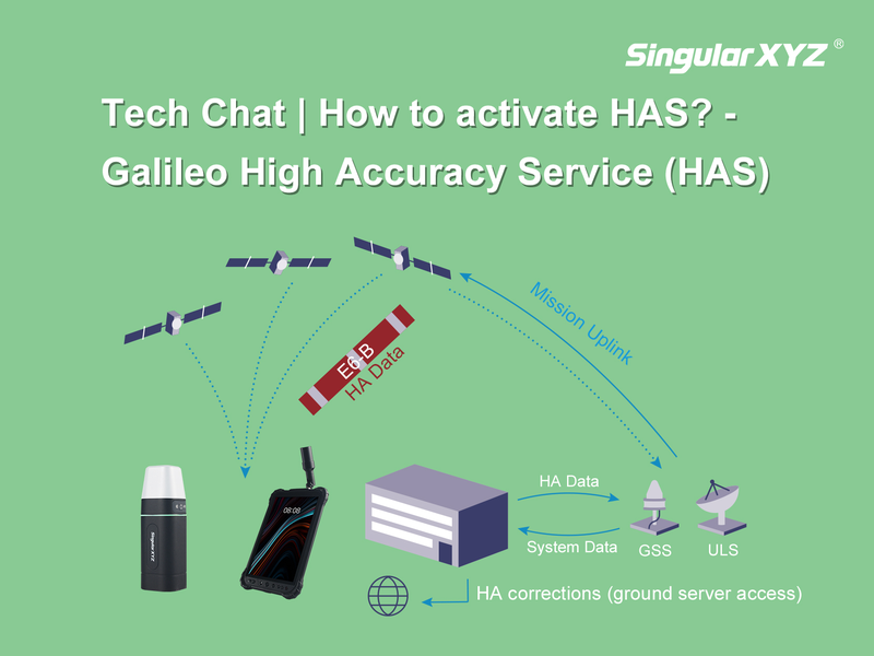
Tech Chat | How to Use Galileo HAS?

In the last chapter, we introduced you to the transformative potential of Galileo's High Accuracy Service (HAS). Now, let's delve deeper into how our products seamlessly integrate with HAS, unlocking a new realm of accuracy and efficiency for our users.
Read more
Geospatial

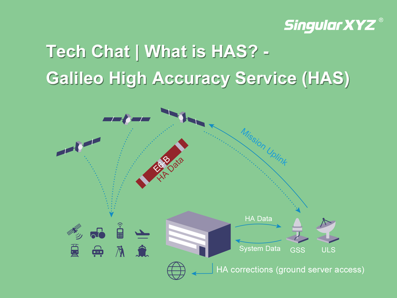
Tech Chat | What is Galileo High Accuracy Service (HAS)?

As a cornerstone in Global Navigation Satellite Systems, Galileo has been a familiar presence in our daily lives. Since commencing testing and experimentation of the innovative High Accuracy Service (HAS) in 2019, Galileo has embarked on a transformative journey. In the present year of 2024, HAS is progressively extending its global coverage and services. Join us in this blog as we delve into the essence of HAS, exploring its potential to enhance both our work and daily experiences.
Read more
Geospatial

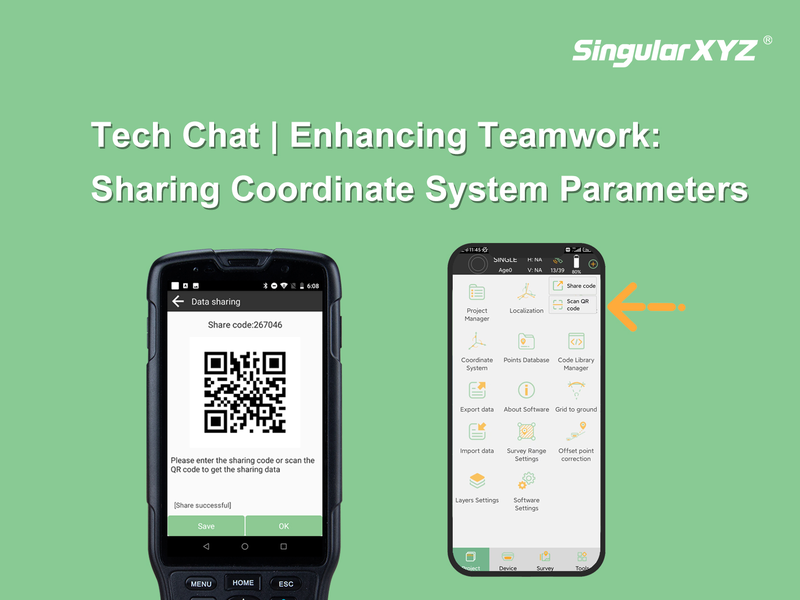
Tech Chat | Enhancing Teamwork: Sharing Coordinate System Parameters in SingularPad Software

Effective communication is crucial for successful project execution, especially when multiple surveyors are engaged in a collaborative project. One key aspect is the seamless sharing of coordinate system parameters. Only when all measurements align within a unified framework can the data obtained by individual surveyors seamlessly converge. In this blog post, we'll explore how to effortlessly share these parameters with your fellow surveyors using the SingularPad software.
Read more
Geospatial

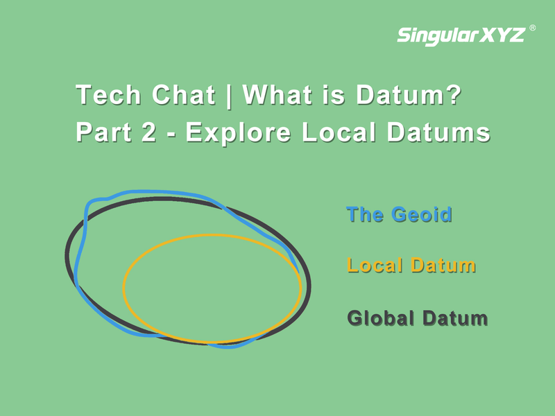
Tech Chat | What is Datum? – Part 2 Explore Local Datums

Building upon the insights shared in our previous blog, where we explored the importance of global datums and the challenges they present, particularly in terms of coordination changes over time, our attention now turns to a solution that effectively addresses these challenges—the local datum.
Read more
Agriculture

Tech Chat | Efficient Communication for Resolving Technical Issues ‑ Chapter 2 Agricultural Questions

In our previous chapter, we explored effective communication strategies with technicians to resolve geospatial product and solution-related technical questions. In this chapter, we will pivot our focus to another critical application domain—GNSS agricultural systems, specifically auto-steering kits. Much like in surveying, these systems play a crucial role in farming tasks, and when issues arise, quick and efficient problem-solving is essential to minimize downtime.
Read more