Barion Pixel

Blog

Geospatial

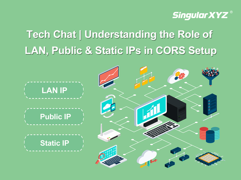
Tech Chat | Understanding LAN, Public, and Static IPs in CORS Setup

For high-precision CORS networks, IP addresses are critical for communication between devices and network. From configuring your SV100 CORS receiver on-site with a LAN IP to using a Public IP for remote access, knowing the differences between LAN, Public, and Static IPs is helpful. This blog explains how each type of IP plays a role in managing and maintaining a stable CORS system.
Read more
Geospatial

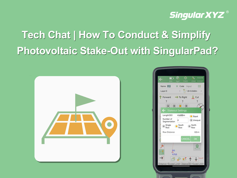
Tech Chat | Simplifying Photovoltaic Stake‑Out with SingularPad

As solar energy continues to gain popularity, the construction of photovoltaic (PV) power stations is becoming more widespread. However, installing solar panels is far from simple. For each PV panel, 4 - 8 foundation piles must be accurately staked out before installation. This task becomes even more challenging in mountainous regions, where the terrain and slope complicate calculations. Traditional manual methods, prone to errors and rework, are often inadequate, leading to increased costs and delays. To overcome these challenges, leveraging advanced stake-out functions in software like SingularPad is essential.
Read more
Geospatial

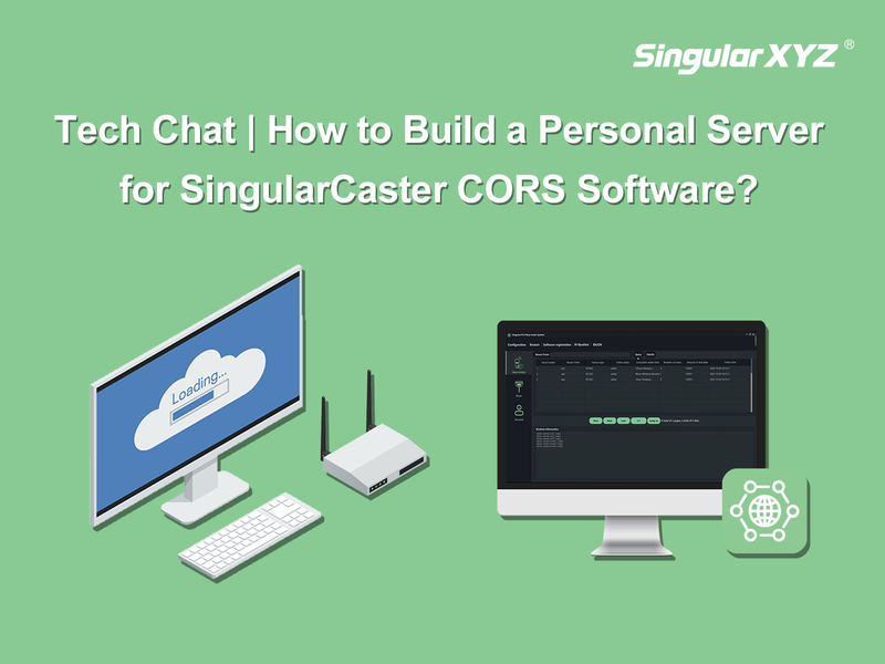
Tech Chat | How to Build a Personal Server for SingularCaster CORS Software

For CORS owners, to build a server for the CORS software/NtripCaster platform is the very first step. A stable network environment, high data processing capacity, and reliable long-term operation can guarantee better results. In previous blog, we have introduced how to choose an ideal 3rd cloud server for your CORS software, such as Amazon Web Services or AliCloud. Read previous blog,
Read more
Geospatial

FAQ | SingularXYZ TS1000 Total Station – Part 4 Station Occupation

In total station measurements, station occupation is crucial for establishing accurate reference points in surveying tasks. It involves setting up the total station at a specific location (the "occupy point") to measure and record data from various survey points. The accuracy of your measurements heavily relies on correctly setting and occupying these points. This blog will guide you through the importance of station occupation and introduce various methods used to ensure precise measurements in complex engineering projects.
Read more
Geospatial

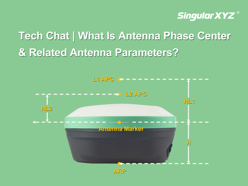
Tech Chat | Understanding Antenna Phase Center & Its Calculation

In satellite positioning, the original calculated coordinates is the location of the GNSS antenna phase center (APC). To accurately determine the coordinates of the measured point, it's essential to understand the relationship between the APC and the measured point, and how to calculate this conversion. In today's blog, we'll delve into what the antenna phase center is, how it's calculated, and why it matters for your field operations.
Read more
Agriculture

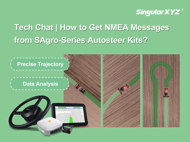
Tech Chat | How to Get NMEA Messages from SAgro‑Series Autosteer Kits

In modern agriculture, recording and monitoring field operations is essential for efficient farm management and data analysis. SingularXYZ autosteer software can record the operated area in real-time with 0.1 square meter accuracy. For farmers that needs higher accuracy and more detailed information, they can collect real-time NMEA messages from their autosteer systems. NMEA messages, including GPGGA with latitude, longitude, and positioning status, also provide speed and attitude information. They are crucial for applications like precision planting, field mapping, yield monitoring, and automated guidance systems.
Read more