Barion Pixel

Blog

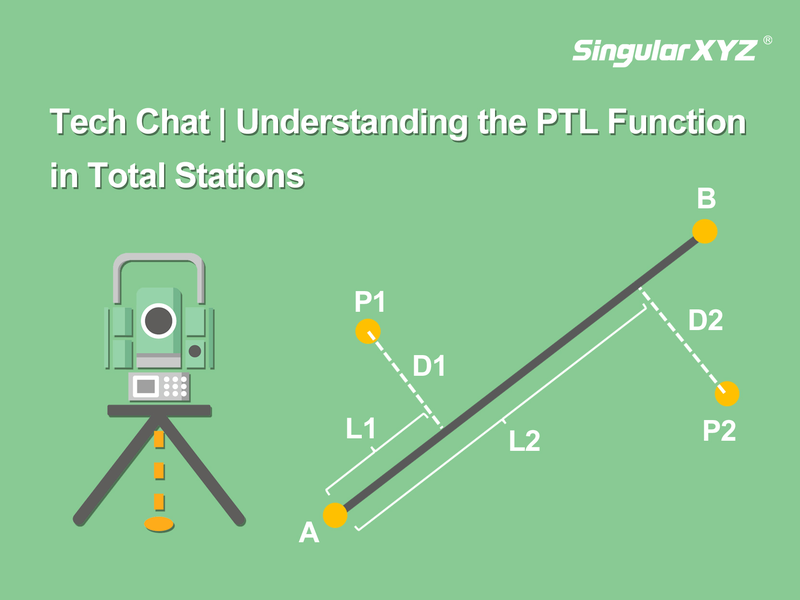
Tech Chat | Understanding the PTL Function in Total Stations

The Point To Line (PTL) function is an advanced data processing tool in total stations, designed to determine the relative position between a measured point and a reference line. By using the PTL function, surveyors can quickly calculate offsets between a target point and a design baseline, ensuring measurement accuracy and construction alignment with design specifications.
Read more
Geospatial

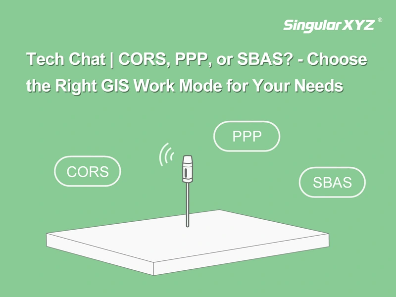
Tech Chat | Choose the Right GIS Work Mode for Your Needs

With advancements in GNSS technology, GIS professionals now have multiple positioning methods to enhance data collection efficiency and accuracy. But how do you choose the right mode for your specific needs? In this blog, we break down the differences between CORS, PPP, and SBAS work modes, compare SingularXYZ's GIS solutions, and provide step-by-step tutorials to help you optimize your workflow.
Read more
Geospatial

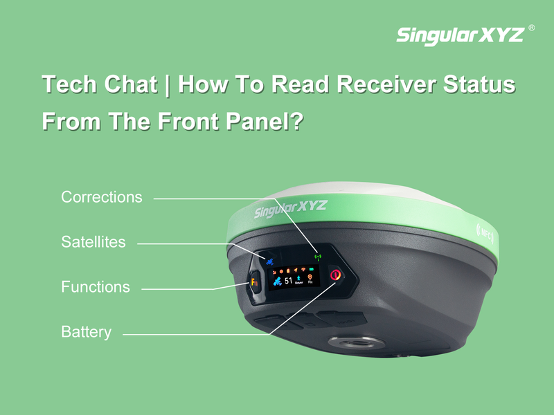
Tech Chat | How To Read Receiver Status from the Front Panel?

In daily surveying, quickly understanding your GNSS receiver's status is essential for efficient operation. While software interfaces provide detailed insights, the front panel indicators and buttons on your receiver offer a fast, convenient way to check essential information such as satellite tracking, correction data reception, and battery levels.
Read more
Geospatial

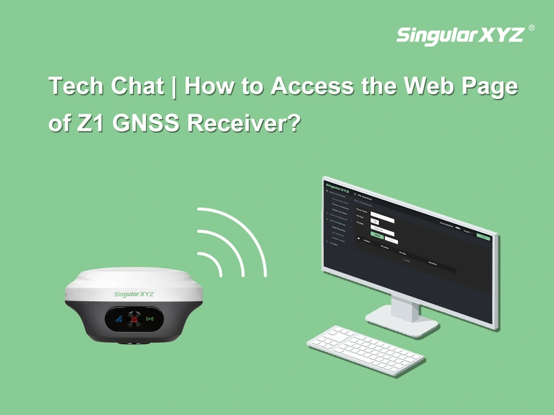
Tech Chat | How to Access the Web Page of Z1 GNSS Receiver?

If you're using the Z1 GNSS receiver, there may be times when you need to access its web page to download static data, update firmware, or make other settings adjustments. However, unlike other SingularXYZ receivers, the Z1's Bluetooth and WiFi cannot operate simultaneously. This means that in order to access the Z1 web page, you'll need to switch to WiFi manually.
Read more