Barion Pixel
Geospatial

Tech Chat | Choose the Right GIS Work Mode for Your Needs

With advancements in GNSS technology, GIS professionals now have multiple positioning methods to enhance data collection efficiency and accuracy. But how do you choose the right mode for your specific needs? In this blog, we break down the differences between CORS, PPP, and SBAS work modes, compare SingularXYZ's GIS solutions, and provide step-by-step tutorials to help you optimize your workflow.
Read more

Geospatial

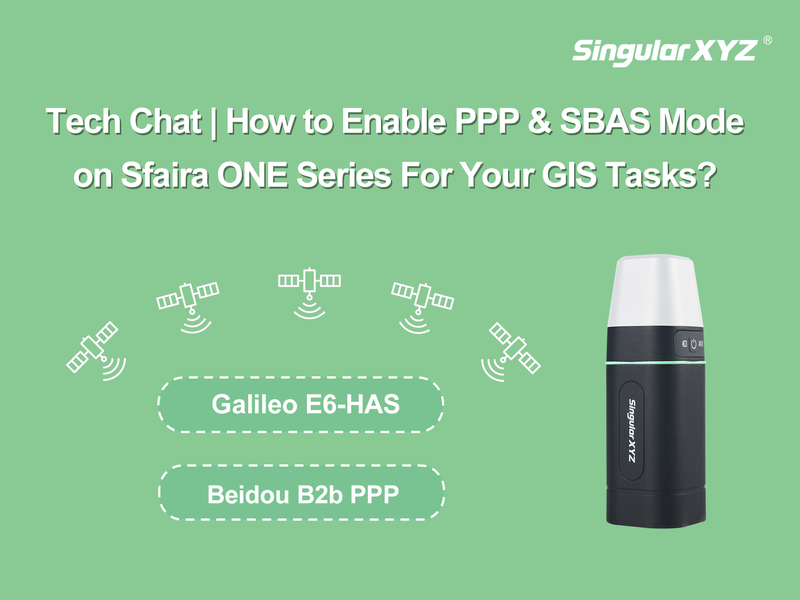
Tech Chat | How to Enable SBAS and PPP Mode on Sfaira ONE Series

For GIS tasks that don't require centimeter-level accuracy or when RTK correction services aren't available, PPP (Precise Point Positioning) and SBAS (Satellite-Based Augmentation System) modes offer excellent alternatives. These modes provide reliable sub-meter to 20cm accuracy without requiring a base station, making them ideal for a variety of field surveying applications.
Read more
Geospatial

Tech Chat | How accurate can GNSS achieve without base stations?

In most applications of GNSS positioning, we usually use RTK technology to obtain centimeter-level precise positioning. The principle of RTK is to use the correction data from base stations or CORS to correct the positioning data for higher accuracy. But without these base stations, do you know how accurate GNSS can be?
Read more
Geospatial

Tech Chat | What is SBAS?

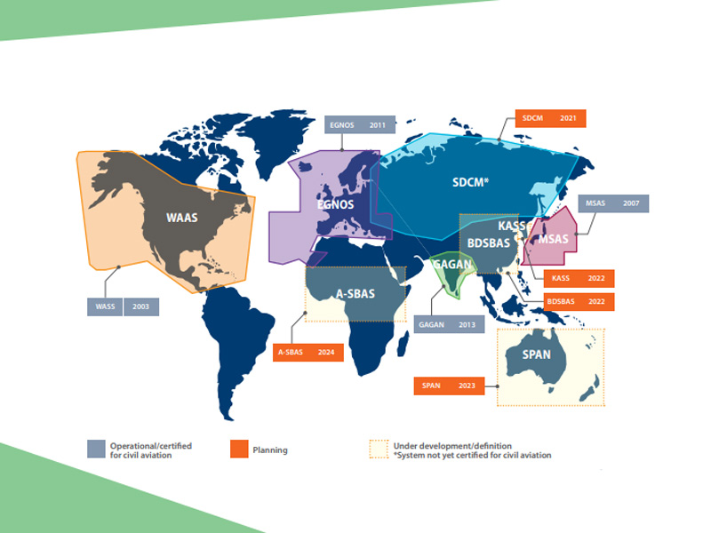
SBAS (Satellite-Based Augmentation System) consists of the space constellations, ground control stations, operation and maintenance stations and the users. Space part is mainly composed of geostationary orbit satellite constellation part, constellations realize enhancement signal effect by sending signals that is similar GNSS navigation information, these signals accepted by SBAS ground control station and decoding process, eliminate part of the navigation error, generate navigation enhance information and sent it the user, the user receives GNSS and SBAS signals at the same time, The error of regional navigation is eliminated by correction, obtaining the navigation and positioning service with higher accuracy.
Read more