Barion Pixel
Geospatial

Tech Chat | How To Site A CORS Station?

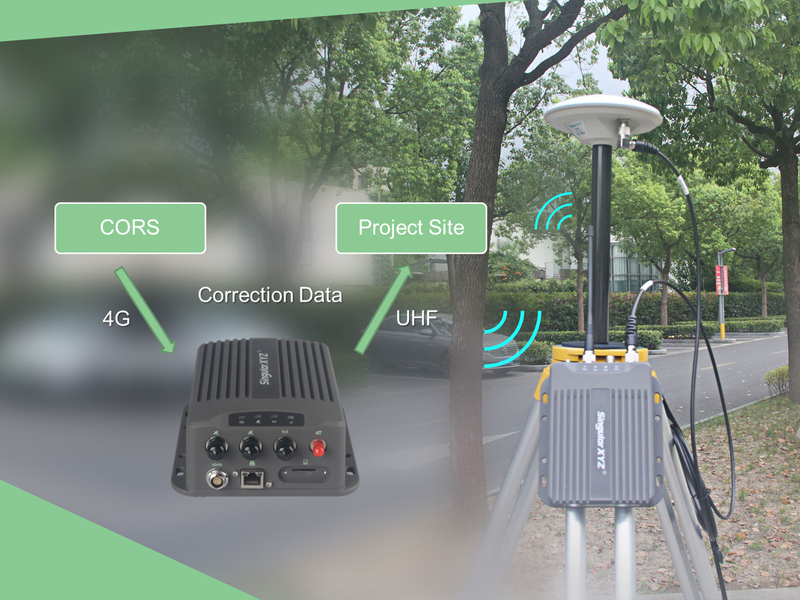
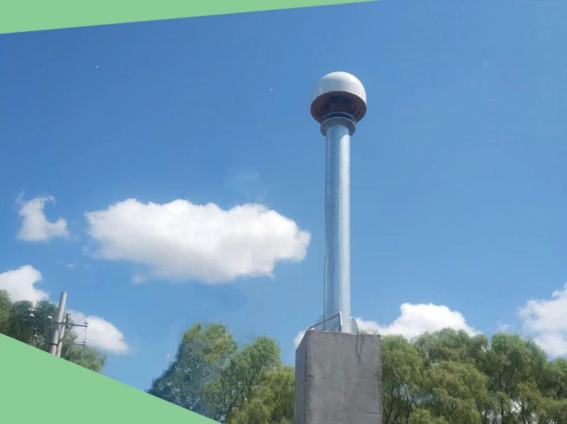
As introduced in the previous blog, CORS (Continuous Operational Reference System) continuously collects high-quality GNSS raw observation data through reference stations, providing mobile terminal users with high-precision positioning services at the millimeter to centimeter level. From navigation and positioning to land surveying, disaster prevention and mitigation, smart cities, autonomous driving, etc., in which the CORS system plays a huge role. In general, users only need to purchase a CORS account to easily obtain differential data for use in various scenarios.
Read more

Geospatial

FAQ | Y1 GNSS Receiver – Part 3 GSM/4G Mode

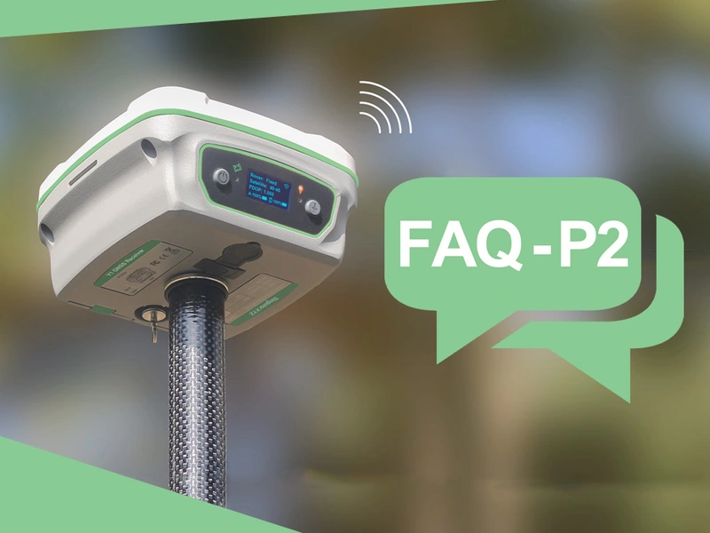
As one of our hot products, the Y1 GNSS receiver has a very wide user base, and they also encountered various technical questions in the process of using Y1. We have summarized the questions frequently asked by our users and provided some solutions, hoping to solve some of your confusion.
Read more
Geospatial

FAQ | Y1 GNSS Receiver – Part 2 Common Notes in Use

As one of our hot products, the Y1 GNSS receiver has a very wide user base, and they also encountered various technical questions in the process of using Y1. We have summarized the questions frequently asked by our users and provided some solutions, hoping to solve some of your confusion.
Read more
Geospatial

FAQ | Y1 GNSS Receiver – Part 1 Radio Mode

As one of our hot products, the Y1 GNSS receiver has a very wide user base, and they also encountered various technical questions in the process of using Y1. We have summarized the questions frequently asked by our users and provided some solutions, hoping to solve some of your confusion.
Read more
Geospatial

Tech Chat | What is SBAS?

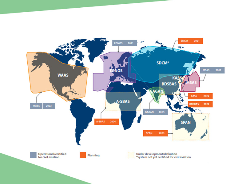
SBAS (Satellite-Based Augmentation System) consists of the space constellations, ground control stations, operation and maintenance stations and the users. Space part is mainly composed of geostationary orbit satellite constellation part, constellations realize enhancement signal effect by sending signals that is similar GNSS navigation information, these signals accepted by SBAS ground control station and decoding process, eliminate part of the navigation error, generate navigation enhance information and sent it the user, the user receives GNSS and SBAS signals at the same time, The error of regional navigation is eliminated by correction, obtaining the navigation and positioning service with higher accuracy.
Read more