Barion Pixel
Geospatial

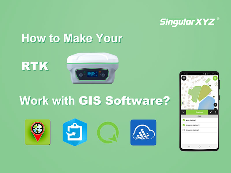
Tech Chat | How to make your RTK work with GIS software?

Although both belong to the geospatial industry, GIS and surveying have different tendencies in the selection of equipment for point surveying work. GISers are more concerned about the compatibility with GIS software and the portability of equipment, while surveyors pay more attention to the accuracy and measurement-related performance.
Read more
Geospatial

Tech Chat | What is NTRIP Caster?

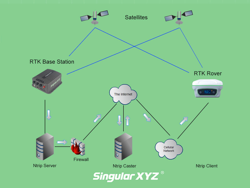
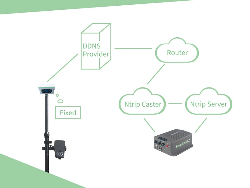
The NTRIP protocol is no stranger to surveyors, which consists of NTRIP Client, NTRIP Caster and NTRIP Server. During our daily surveying tasks, what we used most frequently is NTRIP Client (rover) and NTRIP Server (base). Today let’s talk about NTRIP Caster.
Read more
Geospatial

Application of Engineering Survey Technology in Building Construction

Engineering surveying technology refers to the general term of various surveying theories, methods and technologies used in the survey and design, construction and management stages of engineering construction. The service fields of traditional engineering survey technology include construction, water conservancy, transportation, mining and other departments, and its basic contents include mapping and lofting two parts.
Read more