Barion Pixel
Geospatial

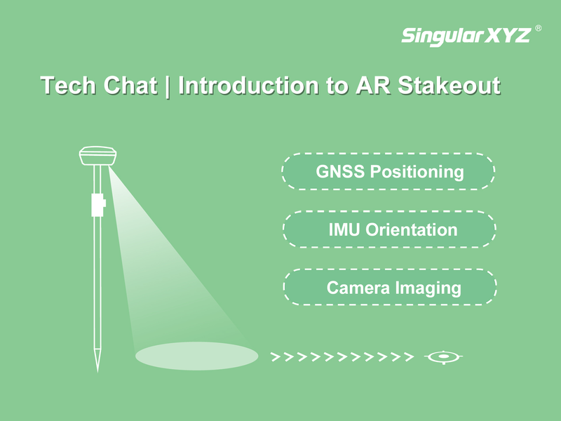
Tech Chat | Introduction to AR Stakeout

In recent years, AR (Augmented Reality) technology has brought a fresh visual experience to traditional GNSS stakeout work. Instead of relying solely on numerical data and compass directions, surveyors can now intuitively see the design points and stakeout guidance overlaid on the real-world scene. In this blog, let's take a deeper look at how AR stakeout works and how it is implemented in SingularXYZ solutions.
Read more
Geospatial

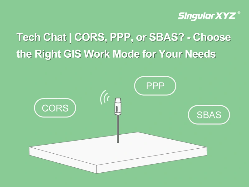
Tech Chat | Choose the Right GIS Work Mode for Your Needs

With advancements in GNSS technology, GIS professionals now have multiple positioning methods to enhance data collection efficiency and accuracy. But how do you choose the right mode for your specific needs? In this blog, we break down the differences between CORS, PPP, and SBAS work modes, compare SingularXYZ's GIS solutions, and provide step-by-step tutorials to help you optimize your workflow.
Read more
Geospatial

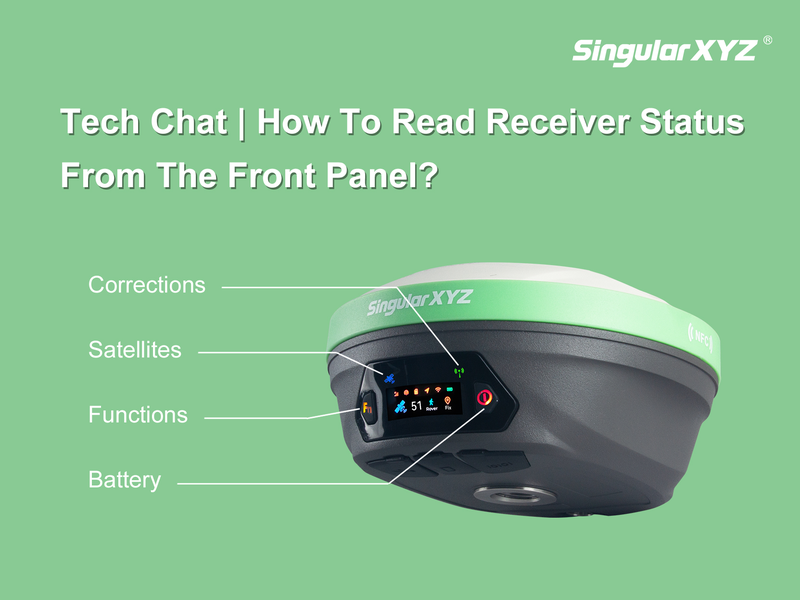
Tech Chat | How To Read Receiver Status from the Front Panel?

In daily surveying, quickly understanding your GNSS receiver's status is essential for efficient operation. While software interfaces provide detailed insights, the front panel indicators and buttons on your receiver offer a fast, convenient way to check essential information such as satellite tracking, correction data reception, and battery levels.
Read more
Geospatial

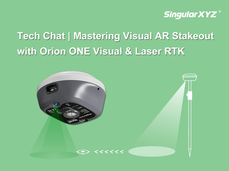
Tech Chat | Mastering Visual AR Stakeout with Orion ONE

The Visual AR Stakeout feature of the Orion ONE RTK receiver brings a new level of efficiency to field surveying. By combining augmented reality (AR) with GNSS technology, this feature allows surveyors to visualize stakeout points in real time, improving the efficiency and accuracy of the staking process. In this blog, we'll walk you through the steps to effectively use Visual AR Stakeout with Orion ONE.
Read more