Geospatial
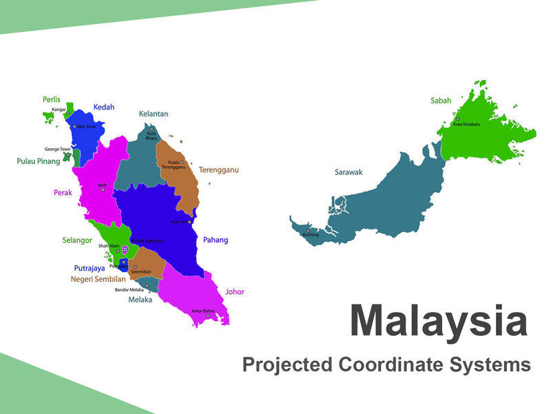
Tech Chat | Projected Coordinate Systems ‑ Malaysia Datum introduction
As is known to all, we often use ellipsoid models to simulate the earth in geodesy, such as the common WGS84 ellipsoid. However, due to the differences in terrain and topography in different regions, the ellipsoid model cannot perfectly fit every corner. Therefore, different ellipsoids and projections are used in different countries and regions, and people often carry out measurement work through a projected coordinate system that is more consistent with their local terrain.
Read more