Barion Pixel
Geospatial

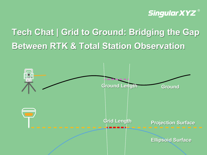
Tech Chat | Grid to Ground: Bridging the Gap Between RTK & Total Station Observation

In precision measurement projects, the seamless integration of total stations and GNSS equipment is essential. Surveyors often find themselves balancing the use of total stations for accuracy in heavily obscured satellite signal areas and GNSS equipment for swift and precise measurements in open spaces. However, the combination between these two systems can introduce errors in the form of inconsistent grid coordinates from GNSS and ground coordinates from the total station.
Read more
Geospatial

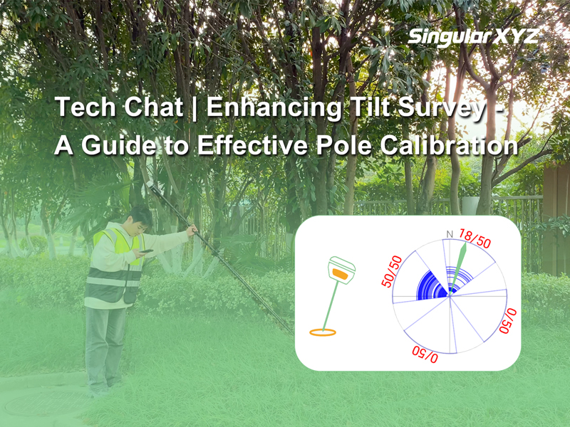
Tech Chat | Enhancing Tilt Survey Accuracy: A Guide to Effective Pole Calibration

As the popularity of IMU tilt functions rises in the realm of RTK surveying, the undeniable convenience they offer becomes increasingly apparent. However, real-world applications often encounter challenges that can impact the accuracy and stability of IMU tilt surveys, such as complex environments, improper usage, or poor satellite tracking during IMU initialization. In this blog, we address these challenges and introduce a practical solution – Pole Calibration – to enhance the reliability and stability of tilt survey measurements.
Read more
Geospatial

Tech Chat | Mastering RTK Radio Mode Setup for Seamless Surveys

In our day-to-day RTK surveying, we usually use GSM or radio to transmit correction data from base to rover. Compared with the configuration of GSM mode, the parameters of radio mode may be more difficult to understand, such as serial port baud rate, air baud rate, radio channel, and frequency. In this blog, let’s unravel the intricacies of these concepts to empower you in achieving a seamless RTK radio mode setup.
Read more
Geospatial

Tech Chat | Common NMEA Messages Used in RTK Devices

In our previous blogs, we introduced NMEA-0183 and the key message $GPGGA. For RTK devices, providing Positioning, Navigation and Timing (PNT) data to different software and platforms often involves the use of standard NMEA messages. In this blog, we will introduce the most common NMEA messages used in RTK devices, in addition to $GPGGA.
Read more
Geospatial

Tech Chat | Mastering Road Stakeout with SingularPad – Part 2

In the last chapter, we have explored how to import a road file like XML, and how to design a road file in different methods based on your project requirements. After the preparation work, in today's blog, let's learn how to conduct the road stakeout tasks in SingularPad software with ease.
Read more
Geospatial

Tech Chat | Mastering Road Stakeout with SingularPad – Part 1

In the realm of civil engineering and construction, precision is the bedrock of success. To ensure the creation of safe and functional roads, the practice of "road stakeout" takes center stage. In this blog, we will introduce you to the process of initiating road stakeout tasks using the SingularPad field software.
Read more